GREEN.DAT.AI aims to channel the potential of AI towards the goals of the European Green Deal, by developing novel Energy-Efficient Large-Scale Data Analytics Services, ready-to-use in industrial AI-based systems, while reducing the environmental impact of data management processes. GREEN.DAT.AI will demonstrate the efficiencies of the new analytics services in four industries (Smart Energy, Smart Agriculture/Agri-food, Smart Mobility, Smart Banking) and six different application scenarios, leveraging the use of European Data Spaces. The ambition is to exploit mature (TRL5 or higher) solutions already developed in recent H2020 projects and deliver an efficient, massively distributed, open-source, green, AI/FL - ready platform, and a validated go-to-market TRL7/8 Toolbox for AI-ready Data Spaces. The services will cover AI-enabled data enrichment, Incentive mechanisms for Data Sharing, Synthetic Data Generation, Large-scale learning at the Edge/Fog, Federated…
EMERALDS’s vision is to design, develop and create an urban data-oriented Mobility Analytics as a Service (MAaaS) toolset, consisting of the so-called ‘emeralds’ services, compiled in a proof-of-concept prototype, capable of exploiting the untapped potential of extreme urban mobility data. The toolset will enable the stakeholders of the urban mobility ecosystem to collect and manage ubiquitous spatio- temporal data of high-volume, high-velocity and of high-variety, analyse them both in online and offline settings, import them to real-time responsive AI/ML algorithms and visualize results in interactive dashboards, whilst implementing privacy preservation techniques at all data modalities and at all levels of its architecture. The toolset will offer advanced capabilities in data mining (searching and processing) of large amounts and varieties of urban mobility data and its efficiency will be assessed, validated…
Mobility in the urban and maritime domains hugely impacts the global economy, generating data at high rates from an increasing number of moving objects. Management of the complete lifecycle of such data implies that trustworthy and privacy-preserving infrastructures need to be put in place, so that reliable and secure data operations can be provided. Meanwhile, the mobility data exploitation still has a wide potential due to the emerging applications and the environmental footprint caused by mobility. From September 2022 to August 2025, the brand new Horizon Europe project MobiSpaces will be developing effective data governance solutions to exploit the huge data volumes produced in secure and trustworthy digital infrastructures to enable data sharing, reuse and interoperability using standardised protocols across different organisations and stakeholders.
The vision of the i4Sea project was to efficiently process, integrate and analyze large-scale marine surveillance data in order to create a combined historical and real-time view of marine surveillance. Towards this goal, the project developed innovative software solutions utilizing cutting-edge research in the field of big mobility data management and analytics. Selected publications: P. Tampakis, E. Chondrodima, A. Pikrakis, et al. (2020) Sea area monitoring and analysis of fishing vessels activity: the i4sea big data platform. 21st IEEE International Conference on Mobile Data Management (MDM), pp. 275-280, DOI: 10.1109/MDM48529.2020.00063.A. Tritsarolis, G.S. Theodoropoulos, Y. Theodoridis (2021) Online discovery of co-movement patterns in mobility data. International Journal of Geographical Information Science, 35:4, 819-845, DOI: 10.1080/13658816.2020.1834562.A. Tritsarolis, C. Doulkeridis, N. Pelekis, Y. Theodoridis (2021) ST_VISIONS: a python library for interactive visualization of spatio-temporal data. 22nd IEEE International Conference on Mobile Data Management (MDM), pp. 244-247, DOI: 10.1109/MDM52706.2021.00048.A. Tritsarolis, Y. Kontoulis, N.…
VesselAI aims at realising a holistic, beyond the state-of-the-art AI-empowered framework for decision-support models, data analytics and visualisations to build digital twins and maritime applications for a diverse set of cases with high impact, including simulating and predicting vessel behaviour and manoeuvring (including the human factor), ship energy design optimisation, autonomous shipping and fleet intelligence.
Track & Know is a Horizon2020 project, with a focus on Big Data. More specifically, Track & Know will research, develop and exploit a new software framework that aims at increasing the efficiency of Big Data. This will be applied in the transport, mobility, motor insurance and health sectors. Track & Know aims to introduce innovative software stacks and Toolboxes addressing new emerging cross-sector markets related to automotive transportations and urban mobility in general: commercial IoT services; car insurance; and, healthcare management. The addressed markets have significant industrial and commercial impacts for EU enterprises.
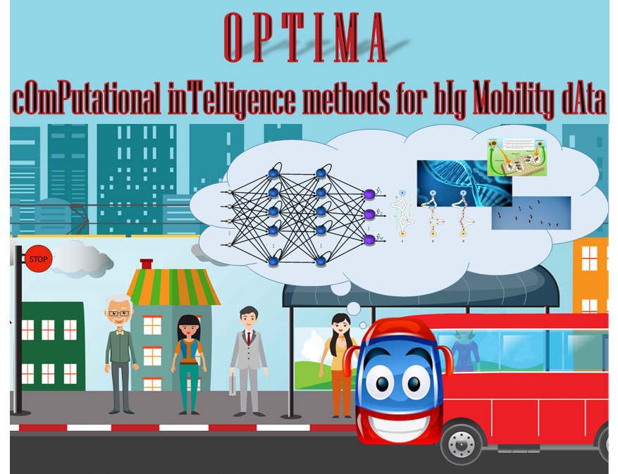
Description The main objective of this research project is the development of new Computational Intelligence (CI) methodologies, with emphasis on Artificial Neural Networks (ANNs), Evolutionary computation (EC) and Swarm Intelligence (SI), which will be inherently designed tο address the particular characteristics of big mobility data, with the aim of improving public transport services and as a result to enhance people life quality and to maximize environmental benefits. This research project aims to design “attractive” for passengers, and simultaneously “efficient” and “economical” public transports. In order to accomplish this, it is necessary to study tasks such as: bus capacity / passenger load prediction, bus arrival time prediction, bus timetable optimization (scheduling), bus predictive maintenance, bus Eco-driving behavior, safety and collision risk on intelligent transportation systems. Τeam Yannis Theodoridis (Academic Advisor) Nikos…
The goal of the SOUNDSCAPES project is to develop a framework and tools for the design and production of sound scenes and related sound effects and ambiences. To that end, the project develops a suite of Acoustic Scene classification, Audio Event Detection and Audio Scene synthesis tools aiming at: (i) providing a framework and solutions for the cost-efficient production of static and living soundscapes, background sound textures and foreground sound effects with the aid of cutting-edge ICT and (ii) overcoming obstacles that prevent individuals from incorporating high-quality sound scenes and ambiences into their products or services. SOUNDSCAPES relies on cutting-edge machine learning research with an emphasis on deep neural networks and reinforcement learning algorithms to develop solutions that deal with the research challenges of the exciting field of automatic scene analysis and production.
SPADES aims to address the limitations of spatio-textual data analysis and processing when applied in the context of Big Spatial Data, as witnessed by the lack of existing systems and techniques for this purpose. Achievement of this goal constitutes a substantial step forward in dealing with challenges emerging from management of Big Spatial Data. At a practical level, the research outcome will benefit applications such as spatio-textual search and retrieval, mining of spatio-textual data, next generation location-based services, and tourism-oriented applications to name a few.
We use cookies on our website in order to provide a better experience and to help us improve. By clicking “Accept”, you consent to the use of ALL the cookies.
This website uses cookies to improve your experience while you navigate through the website. Out of these, the cookies that are categorized as necessary are stored on your browser as they are essential for the working of basic functionalities of the website. We also use third-party cookies that help us analyze and understand how you use this website. These cookies will be stored in your browser only with your consent. You also have the option to opt-out of these cookies. But opting out of some of these cookies may affect your browsing experience.
Necessary cookies are absolutely essential for the website to function properly. These cookies ensure basic functionalities and security features of the website, anonymously.
Cookie
Duration
Description
cookielawinfo-checkbox-analytics
11 months
This cookie is set by GDPR Cookie Consent plugin. The cookie is used to store the user consent for the cookies in the category "Analytics".
cookielawinfo-checkbox-functional
11 months
The cookie is set by GDPR cookie consent to record the user consent for the cookies in the category "Functional".
cookielawinfo-checkbox-necessary
11 months
This cookie is set by GDPR Cookie Consent plugin. The cookies is used to store the user consent for the cookies in the category "Necessary".
cookielawinfo-checkbox-others
11 months
This cookie is set by GDPR Cookie Consent plugin. The cookie is used to store the user consent for the cookies in the category "Other.
cookielawinfo-checkbox-performance
11 months
This cookie is set by GDPR Cookie Consent plugin. The cookie is used to store the user consent for the cookies in the category "Performance".
viewed_cookie_policy
11 months
The cookie is set by the GDPR Cookie Consent plugin and is used to store whether or not user has consented to the use of cookies. It does not store any personal data.
Analytical cookies are used to understand how visitors interact with the website. These cookies help provide information on metrics the number of visitors, bounce rate, traffic source, etc.